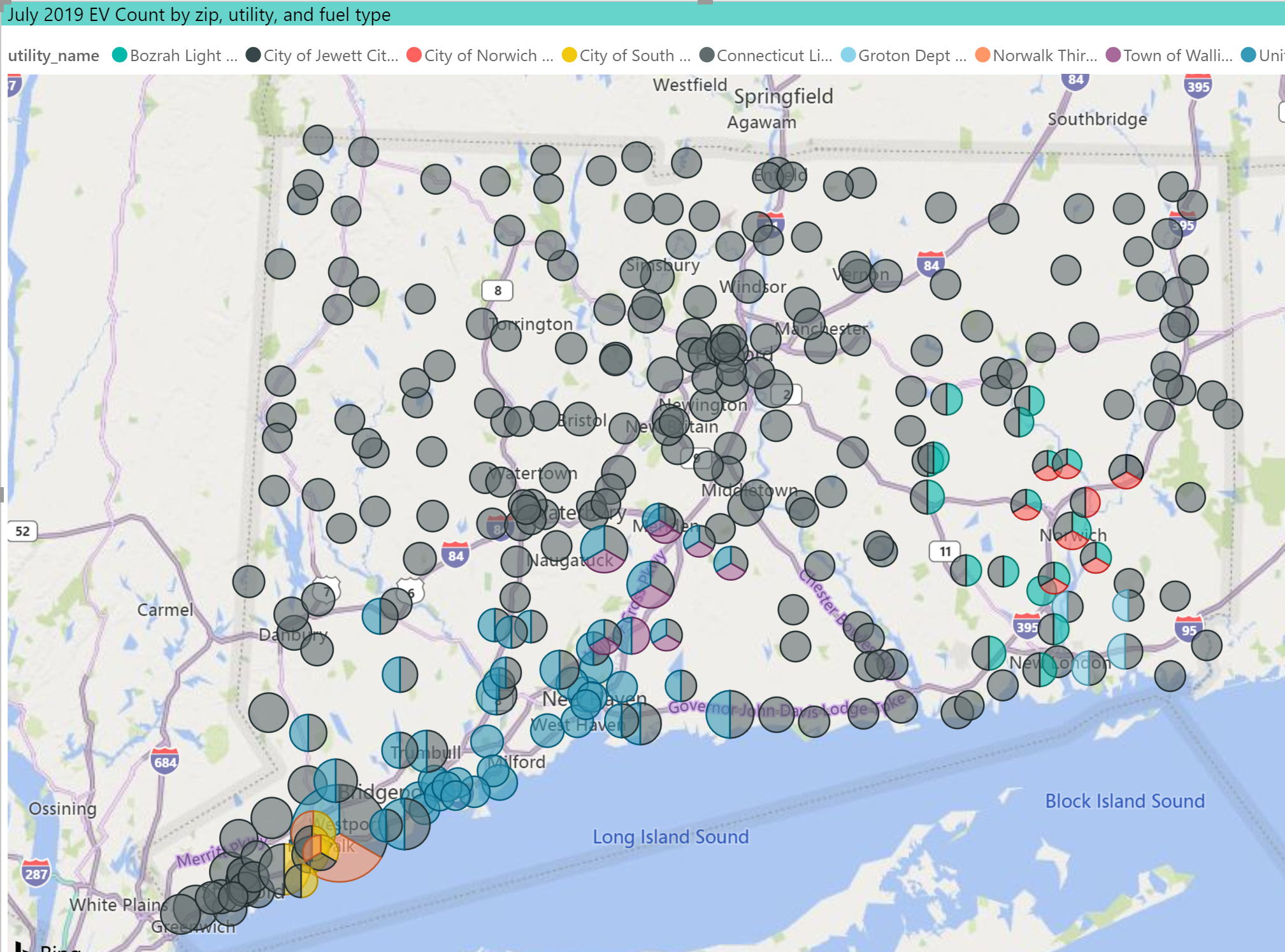
Map of EVs by Zip Code by Utility Service Area
EVs and Utility Service Area
We received a file of zip codes served by each utility in CT, which we added into our EV Dashboard model. This map displays on the zip code level, which utility and how many EVs are served. There appear to be some zip codes that are served by multiple utilities, and in those cases, the number of EVS for the zip code would be counted for each utility. We are unable to parse the data to a sub-zip code level. The dots turn into pie charts when multiple utilities share a zip. Also, these are old utility names. So, for example, we have UI and CL&P but no Eversource.

Chart: Barry Kresch